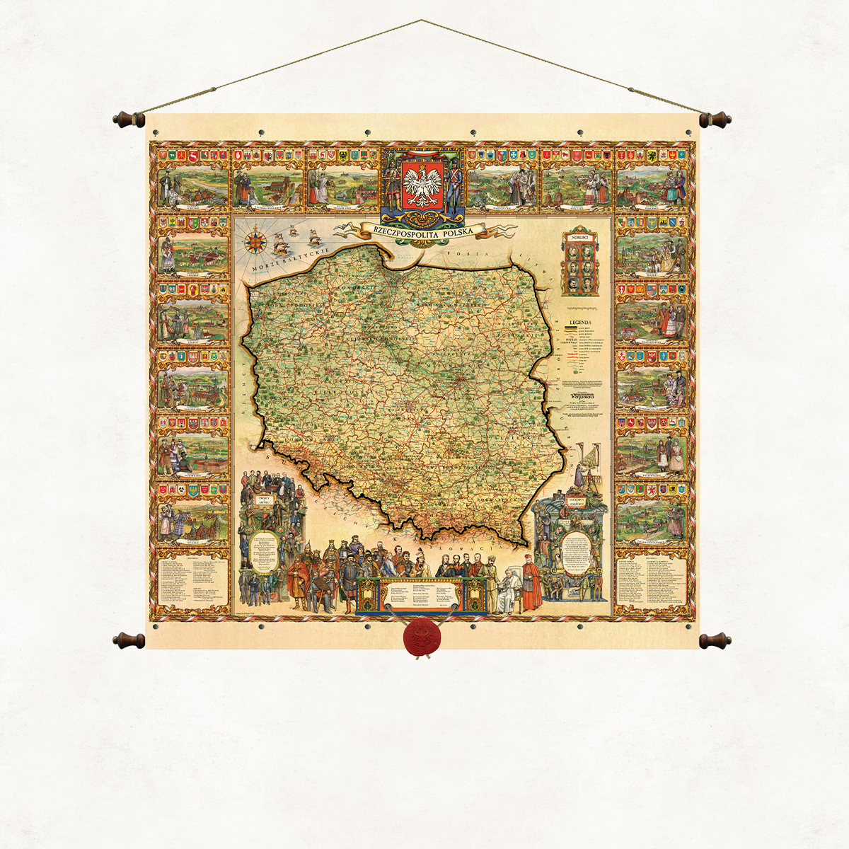
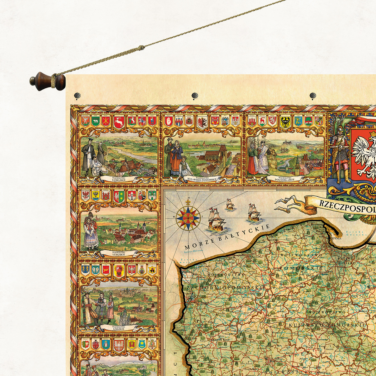
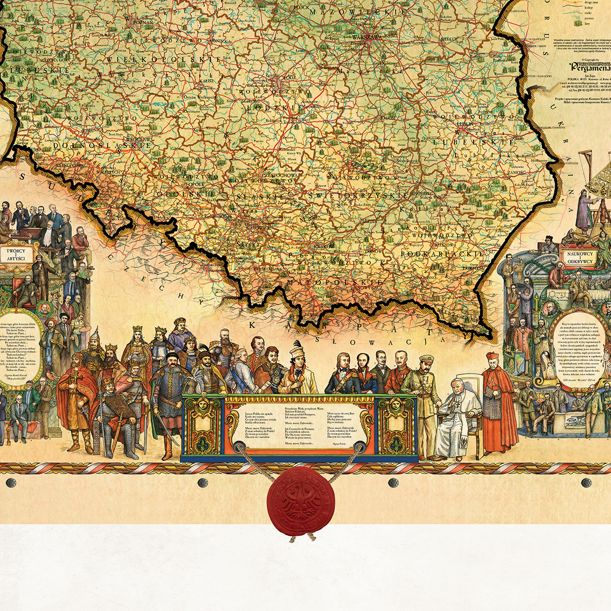
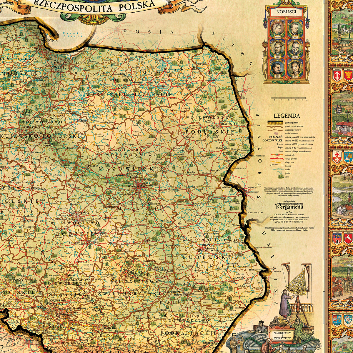
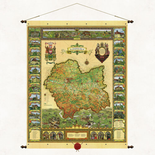
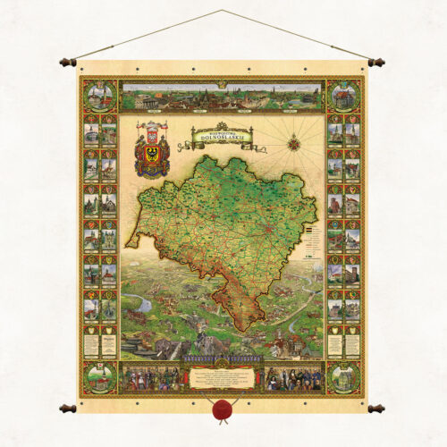
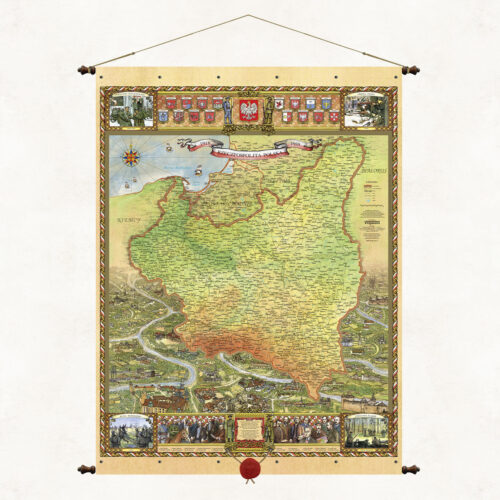
The stylized graphic and color composition of the map illustrates both the cartographic image of contemporary Polish lands and the natural and cultural specificity of individual regions. The side cartouches refer to the contemporary administrative division of the country. Each voivodeship is illustrated in a separate frame. There we can see its characteristic monuments, terrain, vegetation, and regional folk costume. At the bottom of the map we have shown a list of outstanding figures from the history of Poland. Illustrations depicting great leaders, scientists and artists are an instructive story about the thousand-year history of our country.
Map of Poland
Price range: 189,00 zł through 590,00 zł
Description
A stylized map with a wax seal suspended on strings. The form of the binding is based on the traditional method of hanging wall publications on wooden rods, but we have used our own modification. The upper and lower sleeves containing the supporting rods are connected using decorative metal rivets. As in all our board publications, the paper is coated on both sides with a refining, matte laminate, which strengthens it and protects it from moisture and dust. Wooden rods topped with knobs with metal fittings. Authorial binding of the Pergamena Publishing House provided with a decorative string for hanging.
Additional information
| Dimensions | N/A |
|---|---|
| Szerokość / Width | Standard map (68cm), Large map (98cm), Large format map (130cm) |
Only logged in customers who have purchased this product may leave a review.
Reviews
There are no reviews yet.