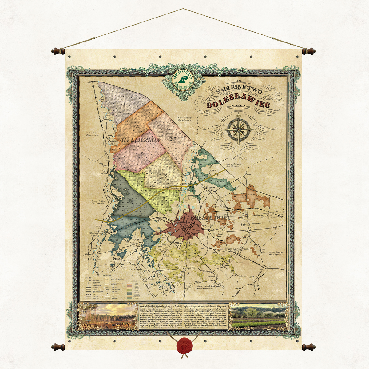
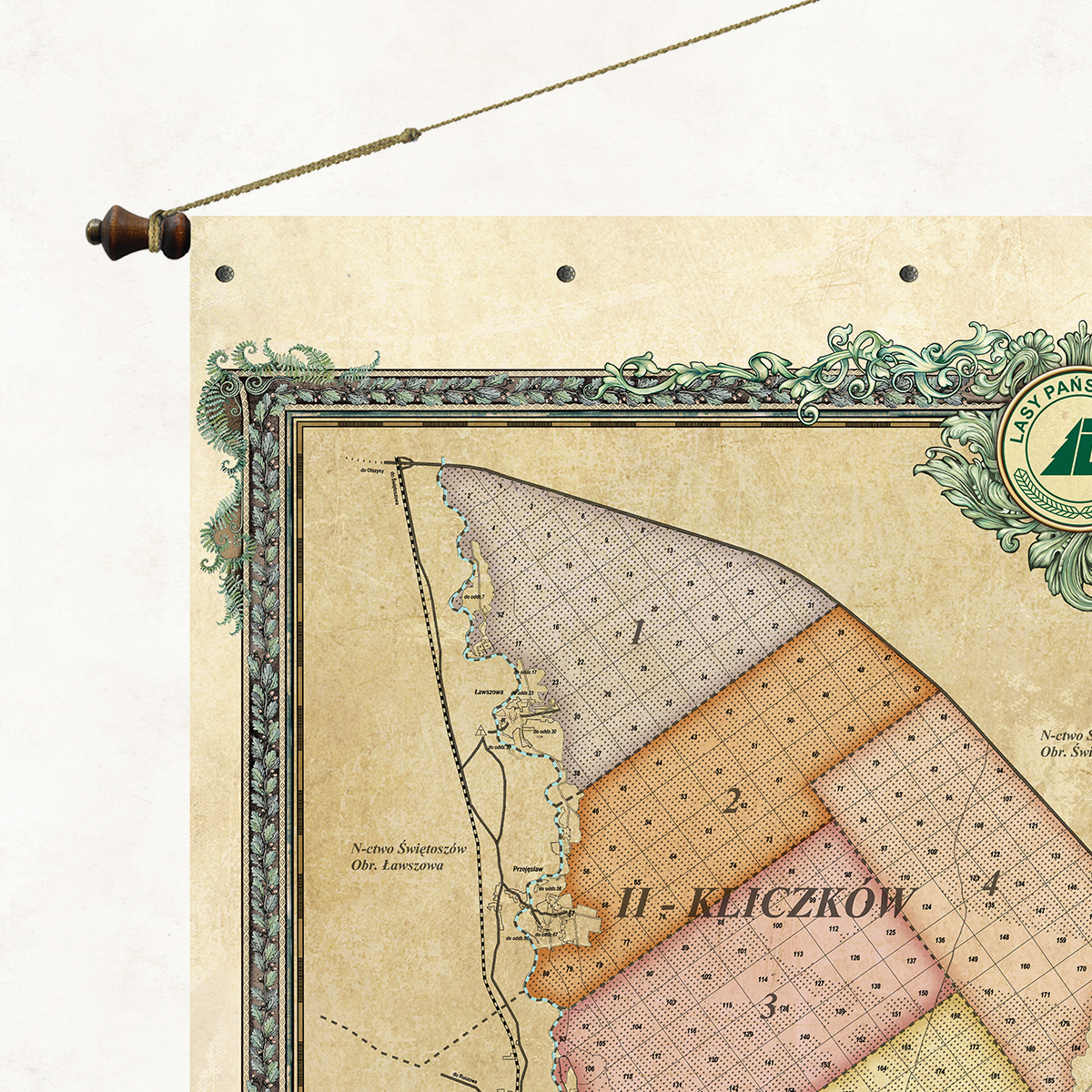
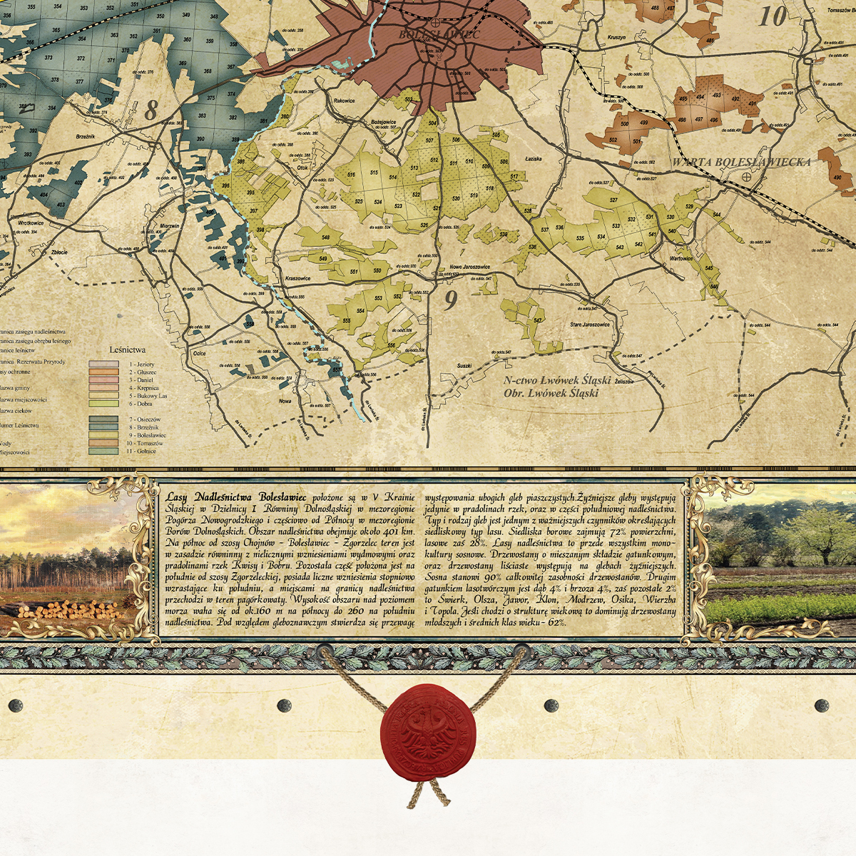
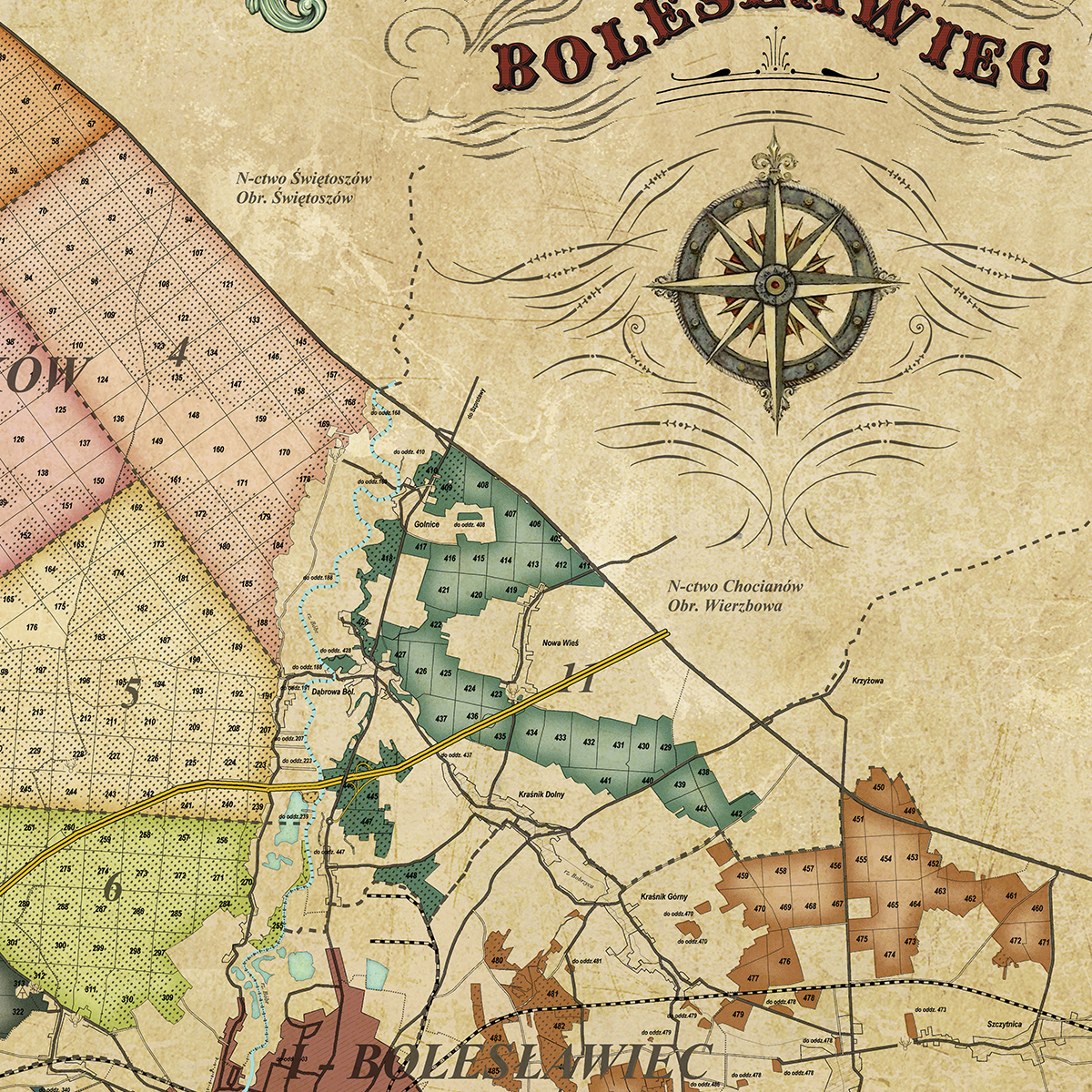
An overview map of the Bolesławiec Forest District, one of 33 forest districts that are part of the Regional Directorate of State Forests in Wrocław. The map presents a brief description of the forest district, forest divisions and forest habitat types. The Bolesławiec Forest District is located entirely within the Lower Silesian Voivodeship in Bolesławiec County. It consists of 6 communes: Bolesławiec, Warta Bolesławiecka, Osiecznica, Nowogrodziec, Gromadka and the City of Bolesławiec.
Map of the Bolesławiec Forest District
Price range: 149,00 zł through 490,00 zł
Description
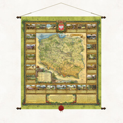
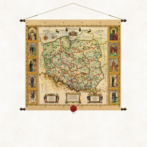
A stylized map with a wax seal suspended on strings. The form of the binding is based on the traditional method of hanging wall publications on wooden rods, but we have used our own modification. The upper and lower sleeves containing the supporting rods are connected using decorative metal rivets. As in all our board publications, the paper is coated on both sides with a refining, matte laminate, which strengthens it and protects it from moisture and dust. Wooden rods topped with knobs with metal fittings. Authorial binding of the Pergamena Publishing House provided with a decorative string for hanging.
Additional information
| Dimensions | N/A |
|---|---|
| Szerokość / Width | Standard map (68cm), Large map (98cm), Large format map (130cm) |
Only logged in customers who have purchased this product may leave a review.
Reviews
There are no reviews yet.