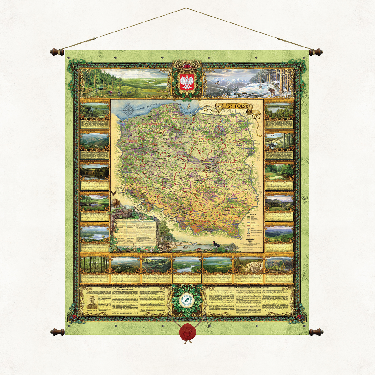
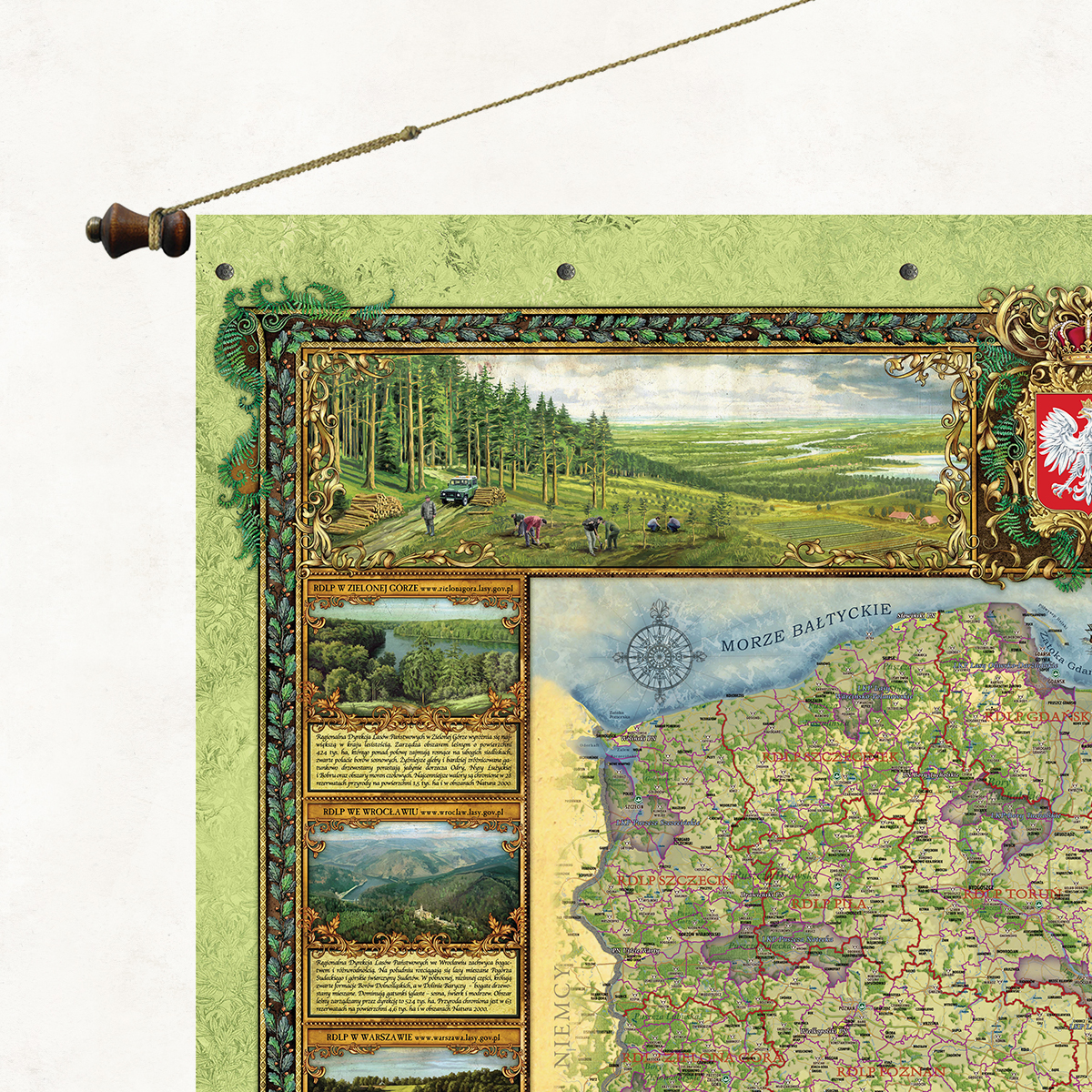
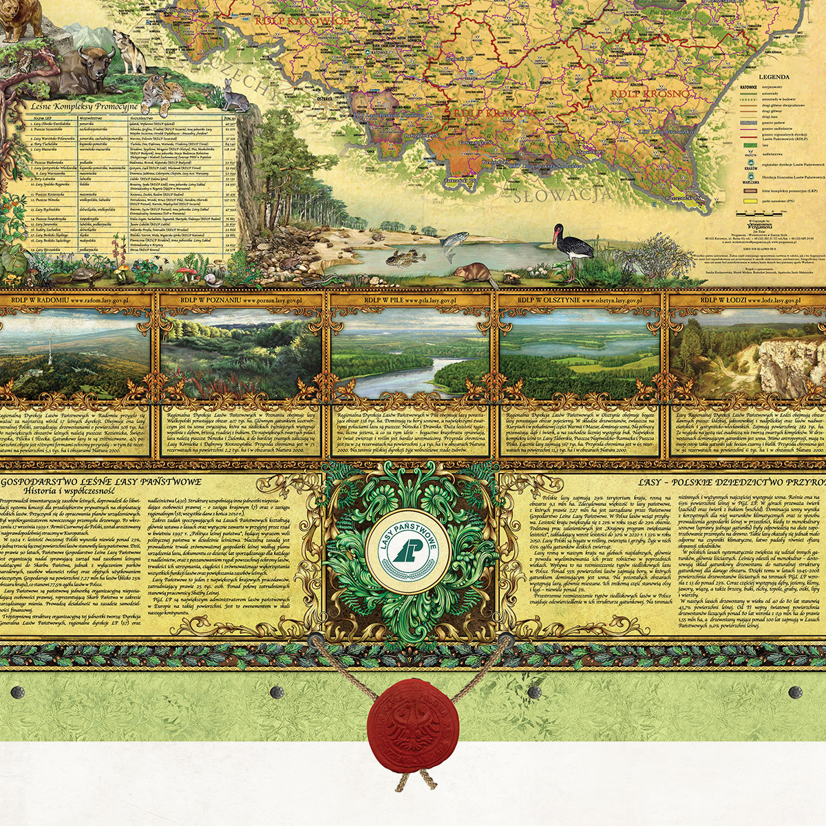
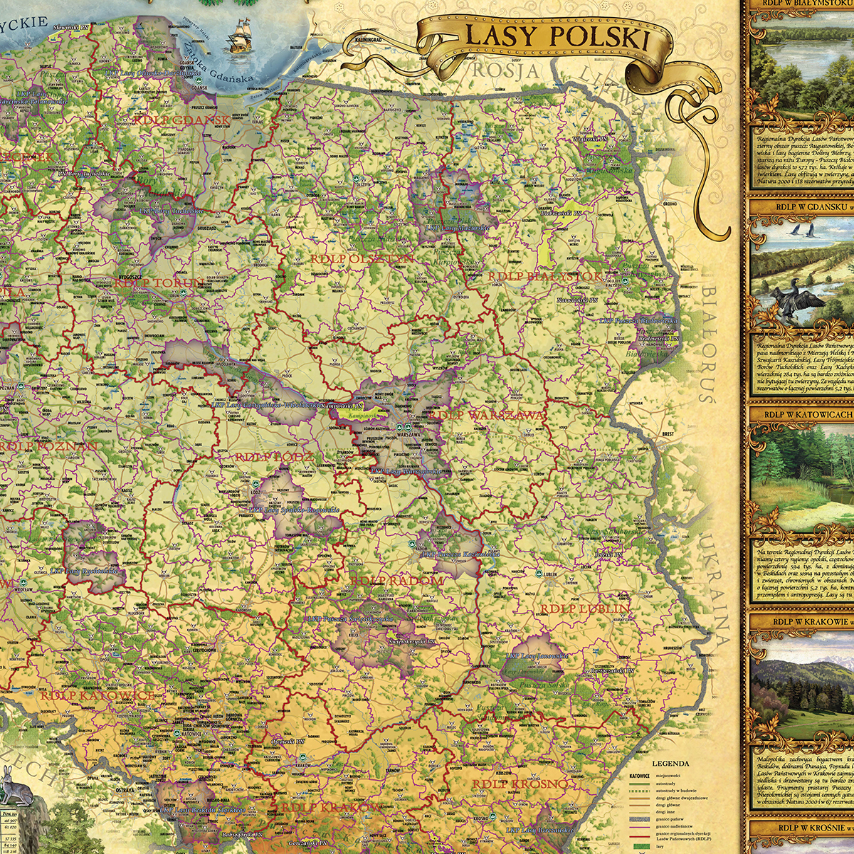
The “Forests of Poland” map presents a cartographic image of Polish forests, the structure and administrative boundaries of the State Forests, the headquarters of forest districts and regional directorates, as well as the location of the most important primeval forests, coniferous forests, forests, national parks and Promotional Forest Complexes in Poland. The decorative cartouches of the map show representative landscapes found in individual regional directorates, as well as selected animal species characteristic of the nature of our country.
Forest areas cover almost 30% of the area of Poland. This is where the main natural resource of our country is located. Most of this area is managed by the State Forests, whose task, included in the mission of the company, is to protect and shape the natural environment. Each administrative unit of the State Forests, each forester is de facto ambassadors of Polish nature. They are the ones who perform this daily ant work, the effects of which are not always noticed, but will certainly be appreciated by future generations. It is to them that we owe the development and good condition of the natural well-being of our homeland.


Reviews
There are no reviews yet.