-
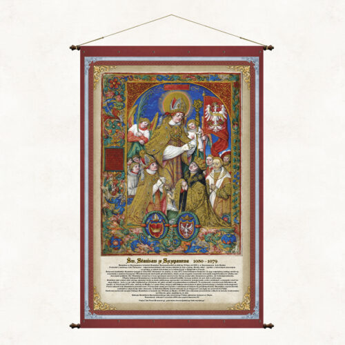
The board commemorates Saint. Stanisław of Szczepanów (also Stanisław Szczepanowski), bishop of Krakow, martyr, saint of the Catholic Church and one of the main patrons of Poland. The illumination placed on the board shows Saint. Stanisław as the patron saint of the Kingdom of Poland and comes from the work of Jan Długosz entitled Catalog of the Archbishops of Gniezno (Latin: Catalogus archiepiscoporum gnesnensium) from before 1476. The author of the painting is the Cistercian Stanisław Samoshootnik, a. Stanisław of Mogila (1480 - 541) - Polish painter, illuminator and miniaturist. The illustrations for the catalog were made several dozen years after Jan Długosz's death.
-
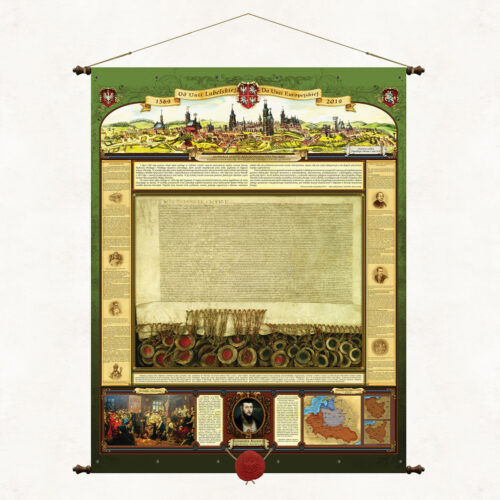
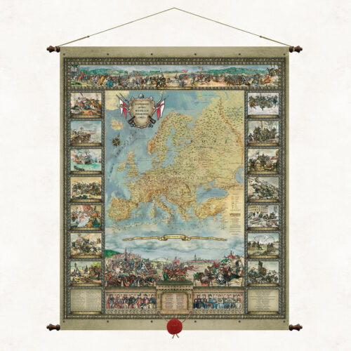
The board was published in 2019, on the 450th anniversary of the Union of Lublin. The attractive, stylized form of the publication presents the history and significance of that great event. We presented: – content of the act of the Senate of the Republic of Poland establishing 2019 as the year of the Union of Lublin – a photocopy of the Act of the Union of Lublin in actual size – panorama of Lublin from 1614 – extensive fragments of the original text of the union – a brief historical outline of events related to the Union of Lublin – fragment of the will of King Sigismund II Augustus referring to the Union of Lublin – image of Jan Matejko's painting - Union of Lublin – Map of the Polish-Lithuanian Commonwealth from the 17th century. The board is topped with a wax seal with an eagle, is 98 cm wide and is mounted on decorative bars.
-
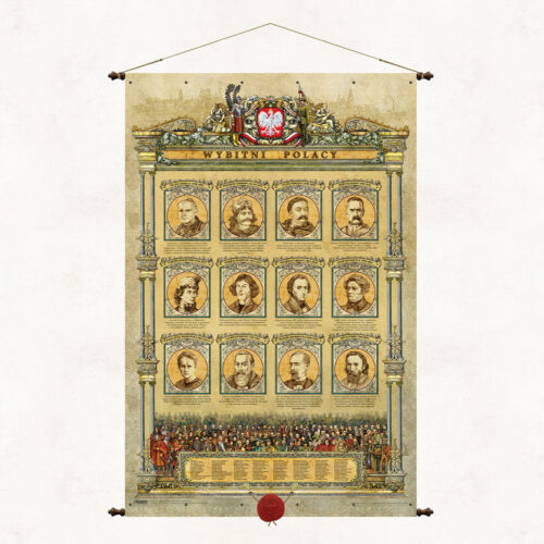
The board presents a selection of over 120 outstanding Poles who made a significant contribution to the creation and strengthening of Polish statehood, culture and national heritage. Their images appear at the bottom of the map and are numbered, which allows easy identification of the person according to the list below. In the center of the board there are portraits of 12 figures particularly important to Poles and our national tradition.
-
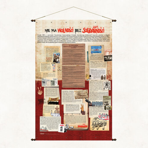
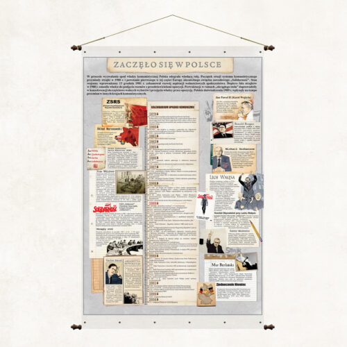
Wartościowa edukująca historycznie publikacja, której intrygujący tytuł pobudza do zastanowienia, o jakie wydarzenie historyczne chodzi. W Polsce miało początek wiele wydarzeń, ale nie wiele z nich jest tak fałszywie interpretowanych przez część europejskich historyków, jak właśnie początek i przyczyna upadku reżimów komunistycznych a szczególnie tego najgorszego – Związku Radzieckiego. Staramy się poprzez tę planszę dać udokumentowaną odpowiedź na istotne pytania dotyczące tamtego okres i tamtych wydarzeń.
-
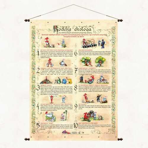
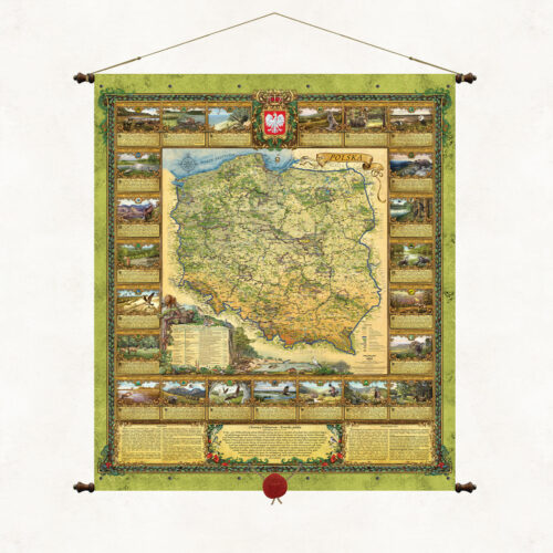
"Poland is a land of ancient primeval forests and thousands of lakes spread on hills and plains between the Baltic Sea and the high Tatra Mountains. History has endowed our country with a unique place on Earth, thanks to which beautiful Polish landscapes four times a year undergo extraordinary metamorphoses delighting with the dynamics of nature, its unusual colors and moods." The map “Nature of Poland” is a publcation unique and beautiful, full of images and symbols of the natural heritage of our country. It is a map - sanctuaries of Polish nature, which should, like the works of Mickiewicz, go under thatched roofs to give and strengthen in us a sense of connection with nature and responsibility for it. Maintained in the convention of old cartographic works, it tells about the treasures of nature that have survived to our time. It presents in decorative cartouches business cards of Polish national parks, gives the most important natural and geographical information about Poland, describes the forms of environmental protection used in our country, beautifully promotes Polish nature. Wishing to popularize the natural beauty of our country, we have published two twin maps, “Nature of Poland” and “Forests of Poland”, which in a complementary way present the overall resource of Polish nature. National parks are the mothers of Polish flora and fauna, but they are not a separate and independent natural creation, they are part of our natural environment, which includes many components such as forests, landscape parks, areas of protected landscape, agricultural land and, of course, water. National parks account for only 1% of our country's land area. The remaining 29% is made up of forest areas owned by the State Forestry Service.
-
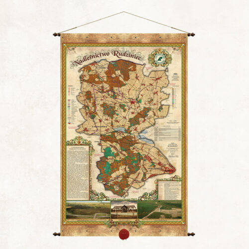
A map of the Rudziniec Forest District, one of 38 forest districts that form part of the Regional Directorate of State Forests in Katowice. The map presents a brief description of the forest district, forest divisions and forest habitat types.
More information? Call: +48 501 69 59 69