-
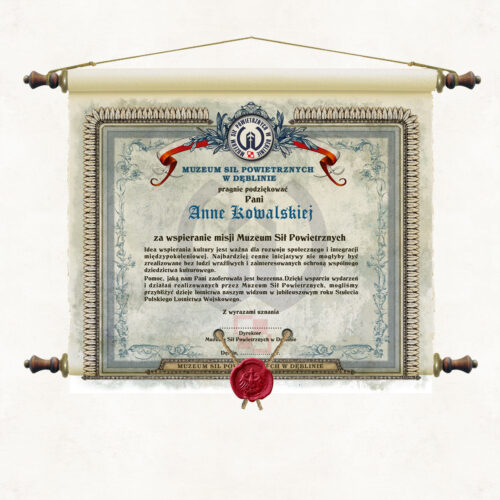
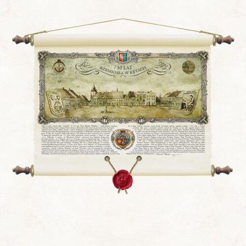
Edition in the form of a stylised scroll with a wax seal suspended on strings. It is printed on decorative paper, similar in texture and properties to the handmade papers used in former times. An additional characteristic of the publication are the jagged edges of the sheet, which are stylistically reminiscent of old incunabula affected by the teeth of time. As with all our wall publications, the paper is coated with a matt laminate on both sides, which strengthens it and protects it from moisture and dust. In addition, this treatment makes the scroll similar to the original parchment. The sheet is wound on wooden rollers topped with knobs with metal fittings. The overall design is reminiscent of Roman scripture scrolls or Jewish torah. Author's binding by Pergamena Publishing House with decorative hanging string.
-
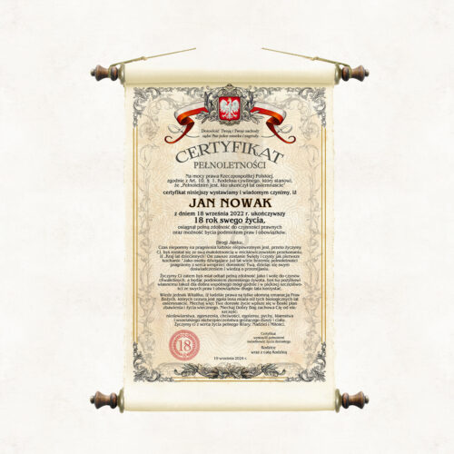
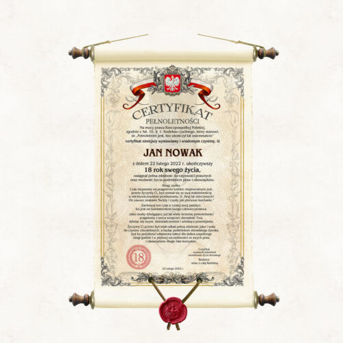
A unique gift and unusual souvenir for the 18th birthday. An original scroll written in the form of a paradocument confirming that a young person has reached the age of majority. The certificate at the outset refers to the law of the Republic of Poland, indicating the article of the Civil Code defining when a young person becomes an adult. In addition to a brief reference to legal considerations pertaining to adulthood, the certificate is also an original declaration of the formal support that those close to the birthday boy and girl are giving for their budding adulthood. Full of good wishes, warmth and life advice, it will be, years later, a remarkable souvenir of the rapidly passing youth. The document can be issued by both family and those close to the 18-year-old. Respecting worldview attitudes, we wrote it in two slightly different versions, one for religious people and the other for secular people.
-
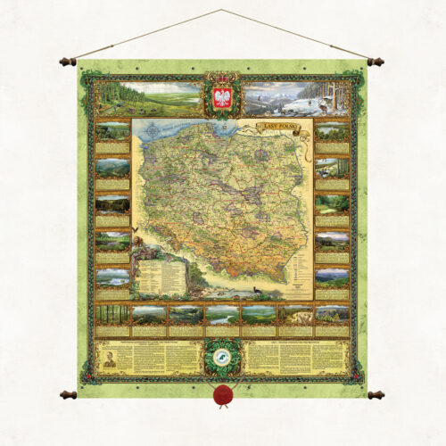
The "Forests of Poland" map presents a cartographic image of Polish forests, the structure and administrative boundaries of the State Forests, the headquarters of forest districts and regional directorates, as well as the location of the most important primeval forests, coniferous forests, forests, national parks and Promotional Forest Complexes in Poland. The decorative cartouches of the map show representative landscapes found in individual regional directorates, as well as selected animal species characteristic of the nature of our country. Forest areas cover almost 30% of the area of Poland. This is where the main natural resource of our country is located. Most of this area is managed by the State Forests, whose task, included in the mission of the company, is to protect and shape the natural environment. Each administrative unit of the State Forests, each forester is de facto ambassadors of Polish nature. They are the ones who perform this daily ant work, the effects of which are not always noticed, but will certainly be appreciated by future generations. It is to them that we owe the development and good condition of the natural well-being of our homeland.
-
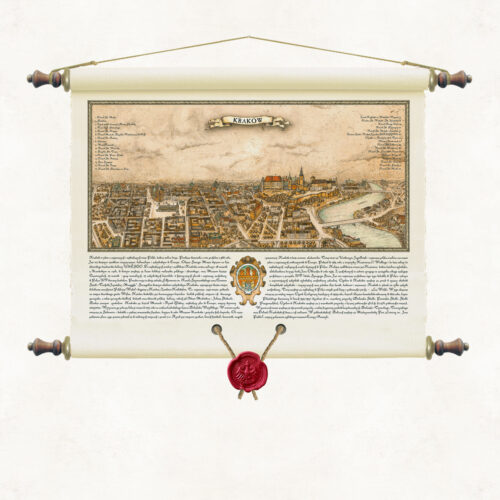
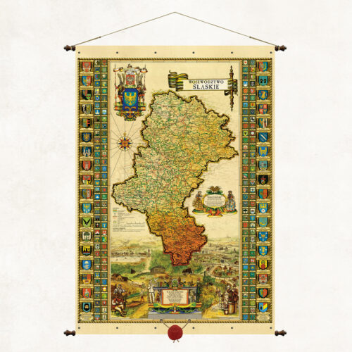
A stylized map with a wax seal suspended on strings. The form of the binding is based on the traditional method of hanging wall publications on wooden rods, but we have used our own modification. The upper and lower sleeves containing the supporting rods are connected using decorative metal rivets. As in all our board publications, the paper is coated on both sides with a refining, matte laminate, which strengthens it and protects it from moisture and dust. Wooden rods topped with knobs with metal fittings. Authorial binding of the Pergamena Publishing House provided with a decorative string for hanging.
-
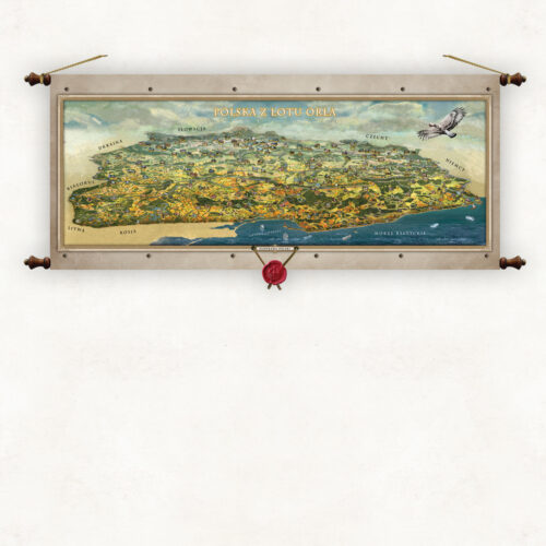
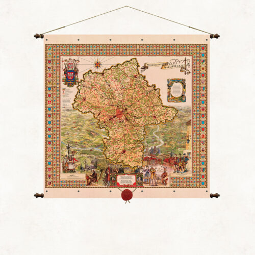
A stylized map with a wax seal suspended on strings. The form of the binding is based on the traditional method of hanging wall publications on wooden rods, but we have used our own modification. The upper and lower sleeves containing the supporting rods are connected using decorative metal rivets. As in all our board publications, the paper is coated on both sides with a refining, matte laminate, which strengthens it and protects it from moisture and dust. Wooden rods topped with knobs with metal fittings. Authorial binding of the Pergamena Publishing House provided with a decorative string for hanging.
-
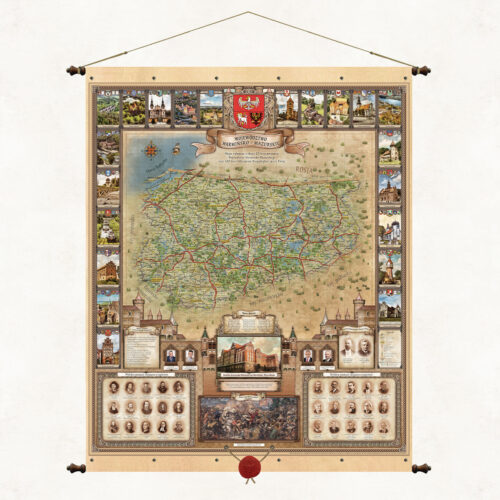
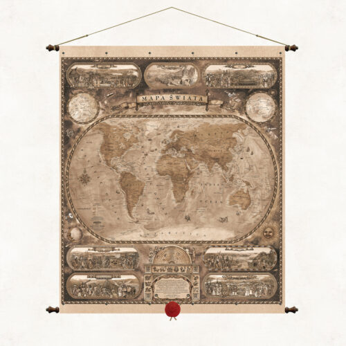
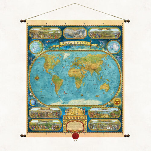
A monochromatic map in sepia tones is a proposal for people who prefer subdued colors and atmospheres. The World Map is the leading publication of our publishing house, created by outstanding Silesian artists Kazimierz and Ksawery Kaliski. The original graphic and thematic composition of the publication captivates with its colors and richness of content. The map illustrates both the cartographic image of the continents and their natural and cultural specificity. The hypsometric shape of the globe shows the borders of countries and the names of important toponyms. Through an original, plastic combination of outer space with the Earth's oceans and continents, the publication makes us realize that our planet is only a small part in the ocean of outer space. The color version of the World Map was an original commemorative gadget of the Polish Olympic Committee at the 2018 Winter Olympics in South Korea. The Polish Olympic Committee authorities presented it in Pyeongchang, South Korea, to the organizers of the games and officials of the International Olympic Committee (IOC).
-
Mapa Świata to czołowa publikacja naszego wydawnictwa, stworzona przez wybitnych śląskich artystów Kazimierza i Ksawerego Kaliskich. Autorska kompozycja graficzna i tematyczna publikacji urzeka kolorystyką i bogactwem treści. Mapa ilustruje zarówno kartograficzny obraz kontynentów, jak i ich specyfikę przyrodniczo-kulturową. Na hipsometrycznym ukształtowaniu globu zaznaczono granice państw i nazwy ważniejszych toponimów. Poprzez oryginalne, plastyczne połączenie przestrzeni kosmicznej z ziemskimi oceanami i kontynentami, publikacja uświadamia nam, iż planeta nasza jest tylko małą cząstką w oceanie przestrzeni kosmicznej. Nasza Mapa Świata była oryginalnym pamiątkowym gadżetem Polskiego Komitetu Olimpijskiego na Zimowych Igrzyskach Olimpijskich 2018 w Korei Południowej. Władze PKOl wręczały ją w południowokoreańskim Pjongczangu organizatorom igrzysk oraz działaczom Międzynarodowego Komitetu Olimpijskiego (MKOl).
More information? Call: +48 501 69 59 69