-
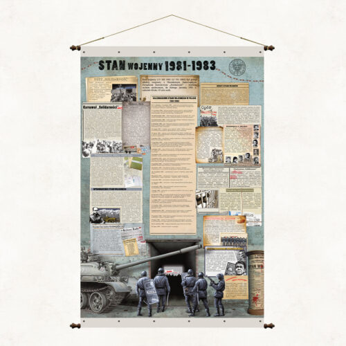
An educational board dedicated to the young generation, for whom the tragic period of Martial Law is fortunately only an inexperienced episode in the history of our country. It presents the most important events of that time in a clear and suggestive way.
-
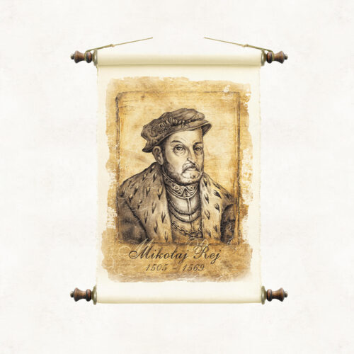
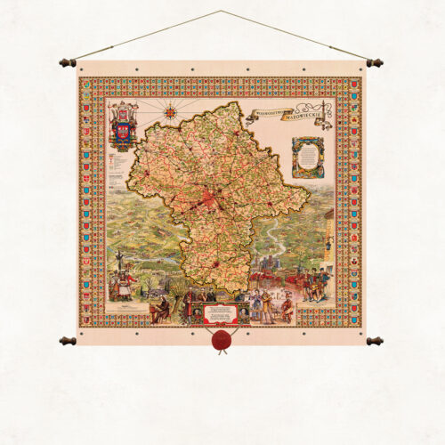
A stylized map with a wax seal suspended on strings. The form of the binding is based on the traditional method of hanging wall publications on wooden rods, but we have used our own modification. The upper and lower sleeves containing the supporting rods are connected using decorative metal rivets. As in all our board publications, the paper is coated on both sides with a refining, matte laminate, which strengthens it and protects it from moisture and dust. Wooden rods topped with knobs with metal fittings. Authorial binding of the Pergamena Publishing House provided with a decorative string for hanging.
-
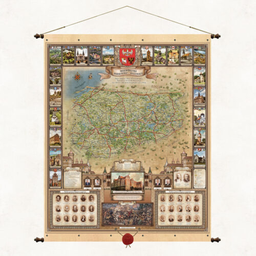
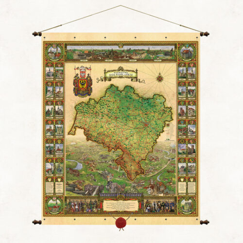
A stylized map with a wax seal suspended on strings. The form of the binding is based on the traditional method of hanging wall publications on wooden rods, but we have used our own modification. The upper and lower sleeves containing the supporting rods are connected using decorative metal rivets. As in all our board publications, the paper is coated on both sides with a refining, matte laminate, which strengthens it and protects it from moisture and dust. Wooden rods topped with knobs with metal fittings. Authorial binding of the Pergamena Publishing House provided with a decorative string for hanging.
-
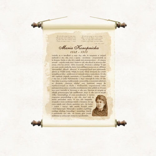
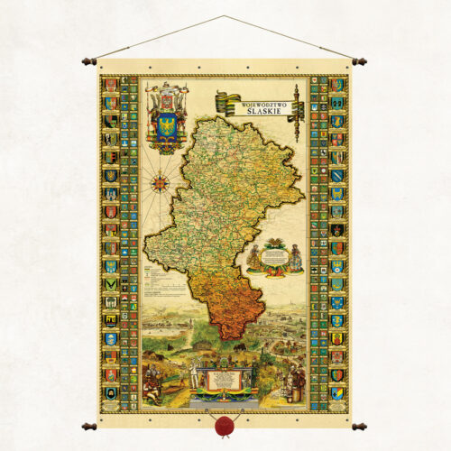
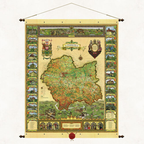
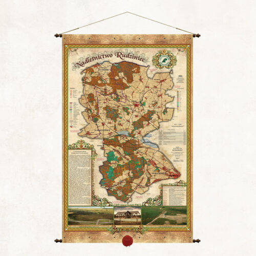
A map of the Rudziniec Forest District, one of 38 forest districts that form part of the Regional Directorate of State Forests in Katowice. The map presents a brief description of the forest district, forest divisions and forest habitat types.
-
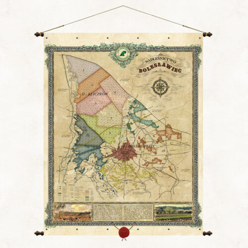
An overview map of the Bolesławiec Forest District, one of 33 forest districts that are part of the Regional Directorate of State Forests in Wrocław. The map presents a brief description of the forest district, forest divisions and forest habitat types. The Bolesławiec Forest District is located entirely within the Lower Silesian Voivodeship in Bolesławiec County. It consists of 6 communes: Bolesławiec, Warta Bolesławiecka, Osiecznica, Nowogrodziec, Gromadka and the City of Bolesławiec.
More information? Call: +48 501 69 59 69